Contexts
(Re)colonizing Tradition
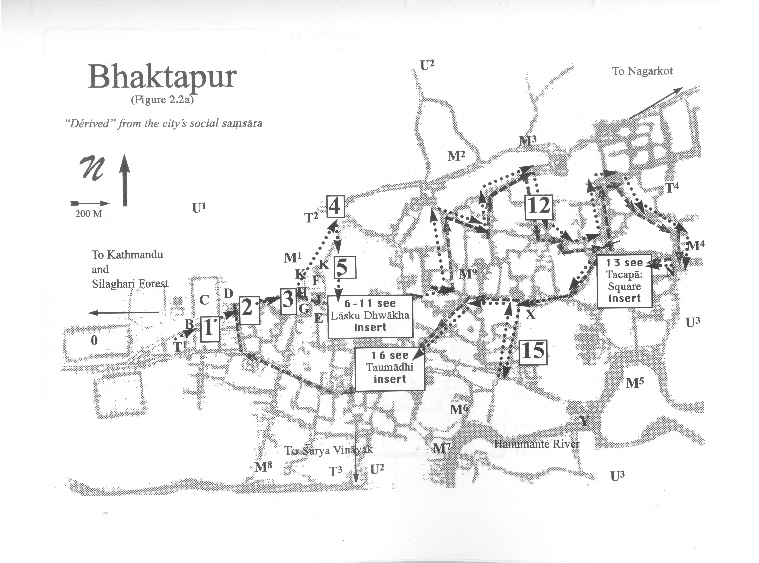
A Pedestrian Guide to a "Traditional" City
Welcome to Bhaktapur
[1] The Tea Stall at Guhepukhu
[2] Nava Durga Chitra Mandir
[3] Khauma Square
[4] Tourist Motor Park
[5] Indrani Pitha
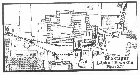
[6]Lasku Dhwakha Gate
[7]Char Dham
[8]Cafe de Temple
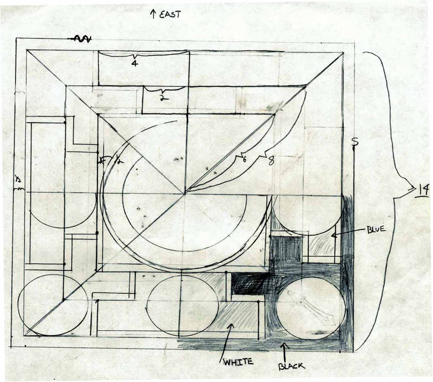
[9]Batsala Temple
[10] Batsala Temple
[11] City Hall
[12] The Procession Route
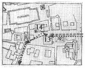
[13] Pujari Math
[14] The Peacock Restaurant
[15] Sewage Collection Ponds
[16] Bhairavanath Temple
|
Inside and Outside
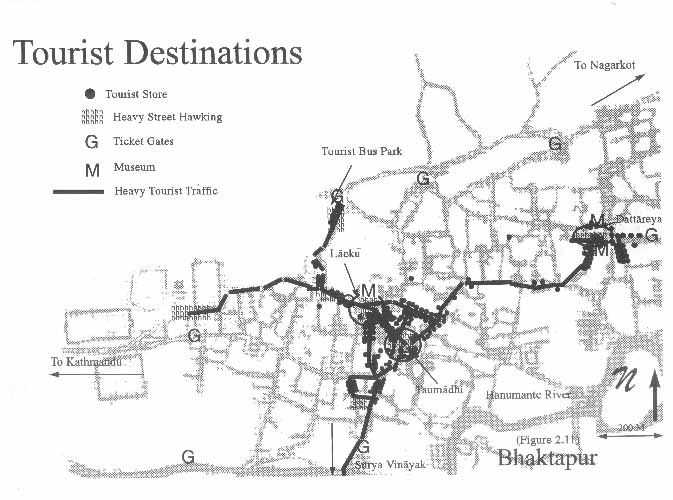
[G] on map marks site of newly constructed gates (click on image to expand map).
Walk through the gate. Recently, using funds generated from the sale of entry tickets, this gate, like the one [B] near Guhepukhu, has been reconstructed. In Newar cities there is a conception of what is dune (inside) and what is pine (outside). Passing through the gate you have now ritually and physically left Bhaktapur. You are outside the space of the city. Down the newly widened and brick-paved road (the new entrance to Bhaktapur) is the Tourist Motor Park [T2]. Other transportation sites include the already mentioned Express Bus Stop [T1], The Chinese Trolley Bus Stop on the Surya Vinayak Road [T3], and the Kamal Vinayak Bus Stop [T4]. The factories that can be seen behind the Indrani Pitha are part of the Small Industrial Area [U1]; other industry includes the carpet factories around Surya Vinayak [U2] and the brick factories that lie to the south, east, and north of Bhaktapur [U3].
  
|
Maps
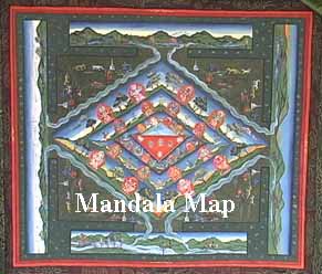
Mandala Map
Tourist Map
Government
Map
Pedestrian
Tour Map
Bhaktapur
Durbar Square
Tacapa Map
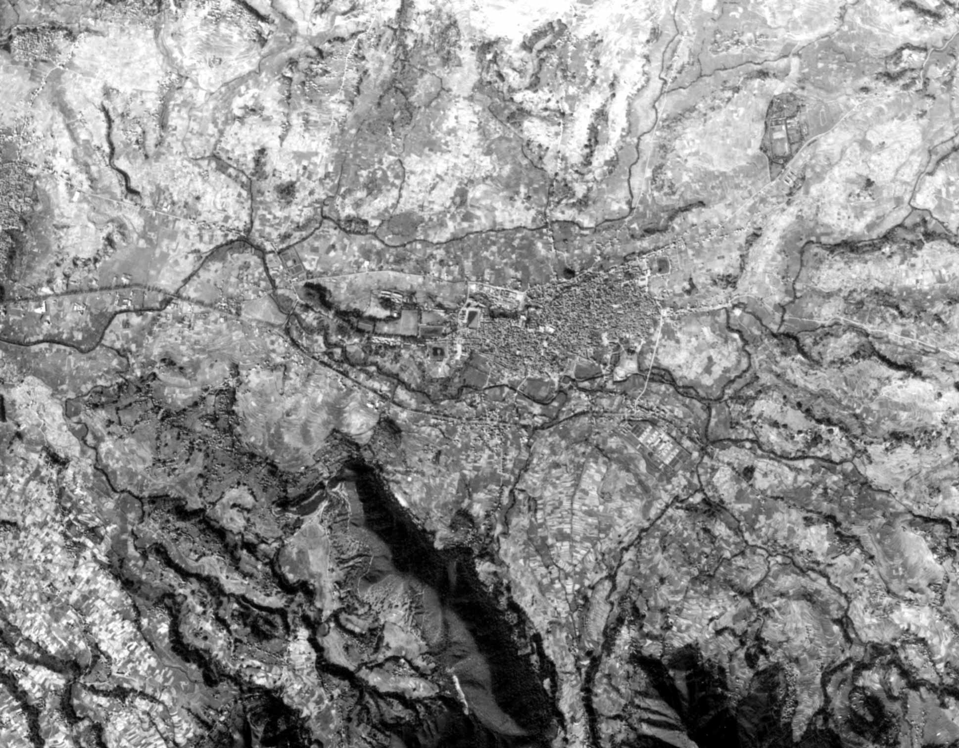
Satellite
Photograph
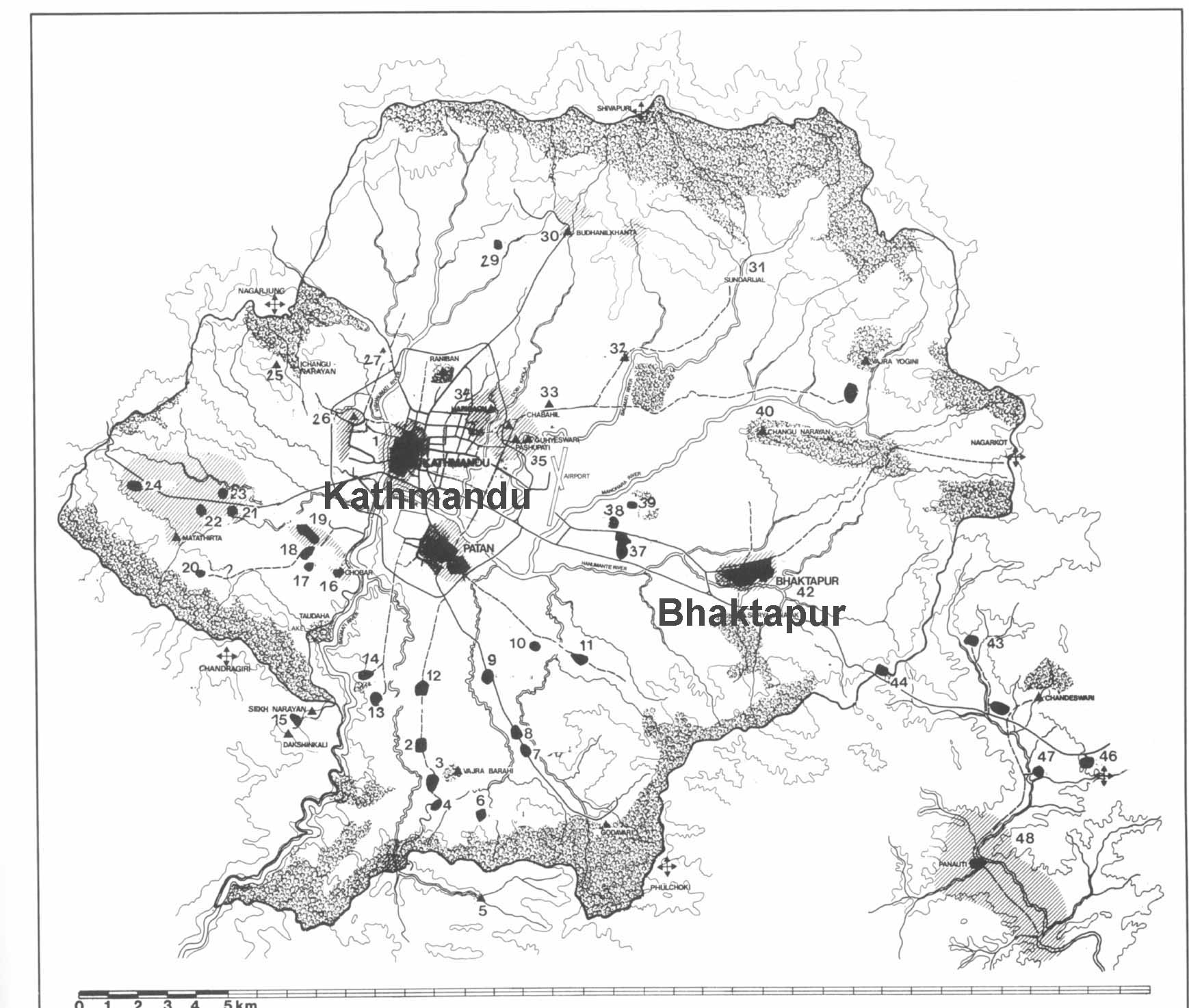
Kathmandu
Valley
Goddesses
|